| Contests | |||||||
| Home | XC Pins | XC Gear | XC Tech | Links |
| Contests | Contests Gallery | |||
| Organize a Contest |
| Course | Tasks | Base | Rules |
Cross Country Flying Contest: Course Layout
XCSoaring is a team sport. The pilot flies the plane most of the time, but at least one other
person should be able to fly if only to allow the pilot to take breaks. COURSE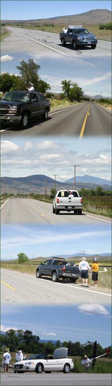
When laying out the contest course, keep in mind safety, traffic, turn points, and terrain. SafetyPick roads with a low traffic volume. Soaring cross-country inevitably results in a lot of stop-and-go action: the team is stopped while the glider circles in thermals, and it's going while the glider cruises between thermals. The course should accommodate this pattern by offering frequent wide shoulders and/or other turn-outs which allow teams to pull off the road while the plane is circling or to let traffic pass. TrafficThe less the better. Pick low-priority roads which serve local traffic only. Avoid arterials which connect places of employment (factories, mills) with residential areas. If possible, time the contest such to avoid traffic peaks (shift change, school, church). Check with local authorities regarding applicable traffic laws. If seat belts are required, for example, all passengers must wear them, even when they're in the bed of a pickup. Turn PointsPick distinctive features to identify turn points: unique buildings, intersections, or natural features all work well. The idea is that the driver can spot and identify the turn point from all directions at least from a short distance away. Turn points should be clearly described (with photographs) in the information packet for the teams. Ideally, there is plenty of room at each turn point to maneuver the car without impeding traffic, and for the team to assure that the plane has reached the turn point. TerrainEvaluate the terrain along the course in regards to lift, obstacles, and landing zones. Lift: Look for features which generate thermals, such as dry fields and hill sides. Also note thermal "triggers" such as tree lines or buildings. In contrast, avoid wetlands (river bottoms, swamps, lush green pastures), which usually are sink holes. It's ok if the course crosses these, but avoid running along them.Obstacles: Lay out the course so as to minimize features which block line of sight to the glider. A line of trees alongside the road or a deep road cut are examples of such features. Also avoid going through larger settlements. Small villages are OK, in fact they can trigger thermal activity, but they should be open in terms of line of sight so as to minimize overflying houses and people. Landing Zones: Look at the entire course with landing in mind. Notice power and telephone lines, fences, railroad tracks, etc. Ideally, accessible landing zones are available in short intervals along the entire course. |
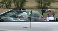 Each
team consists of 2-4 people, with 3 being the most common: pilot, driver,
and spotter.
Each
team consists of 2-4 people, with 3 being the most common: pilot, driver,
and spotter.| Home | Contests | Organize a Contest | Contests Galley | XC Pins | XC Gear | XC Tech | Links | |